Showing posts with label Little Mississippi. Show all posts

Tuesday, August 27, 2013

CONROY MARSH - July 2013

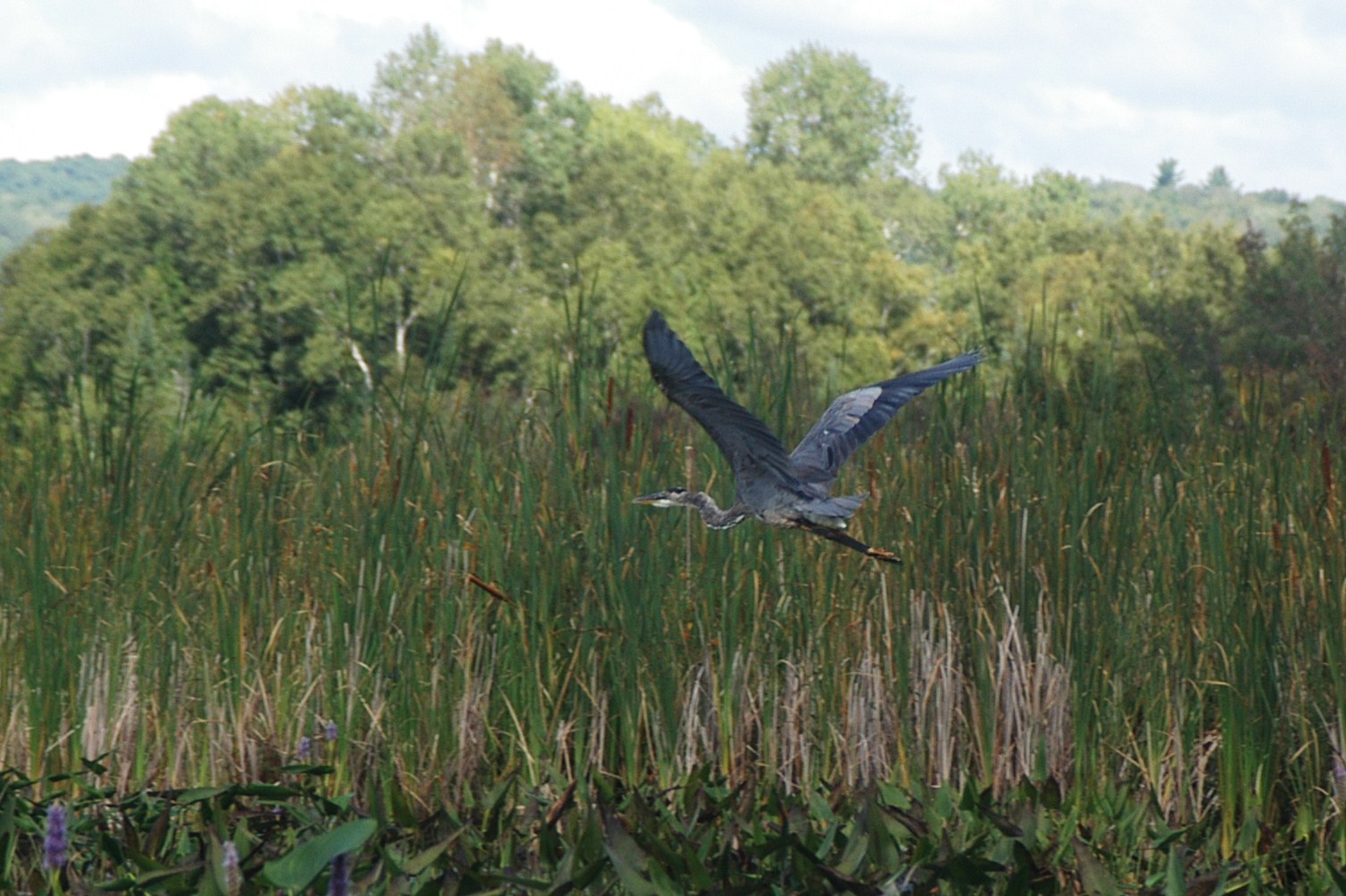
The day after our Barron Canyon trip, Rudi, AJ, Alexander and I headed out to the Conroy Marsh for what was intended to be an overnight canoing and camping adventure. The plan was to put in at Burnt Bridge Road on the Little Mississipi river, traverse the length of the marsh, taking out across Negeek lake at the MNR dock and spending the night there. Katherine would drop us off, and then meet us that evening with our tent and supplies that evening, and then the next day we would leave the MNR dock on Negeek, and take a shorter paddle up to Combermere and the take out in town.

It all started out well, albeit a little bit windy, and with those vaguely ominous little puffy clouds scudding southward overhead. Paddling was a little tough, be we made decent time down the Little Mississipi to our first break at the point that marks the entrance to the marsh.

On entering the marsh, the wind picked up a bit, and made paddling more challenging. Additionally, just over the Craigmont hill it appeared a squall had formed, and had us right in its path. I decided to try to cover more water, and lashed the boys canoe to mine to keep them in line, and really dug in. Still, progress was slow, and sure enough in less than twenty minutes the nasty weather hit, wind driving at least 50kmh, heavy rain, and the water on the marsh pushing back up into half foot tall standing waves.


Entering the Conroy Marsh on the Little Mississippi River, the marsh opens up to the right, the York River enters behind the trees directly ahead of our canoes.


AJ, Alexander and Rudi posing at our lunch stop, a small point of land that demarks the point the Little Mississippi enters the Conroy Marsh.


This was likely after we got drenched in the squall, the winds too high and the time to late to make it to the other end of the marsh, I decided to turn back.

Thursday, August 4, 2011

CASSON AND THE CONROY MARSH - PART 5

After checking out the duck blind, and about ninety minutes on the water, we turned around and began to head back to our put in at Mayhew Landing. Unfortunately, nothing of the scene depicted in Casson's painting could be identified specifically, however the painting had a number of elements that we did see examples of on our paddle. We covered about one-third of the length of the Marsh, so it is quite possible the scene depicted was at the western end, somewhere near where the York River enters the marsh, as we have entered via the Little Mississippi, and I could not recognice the scene there either.


Noodling through the grasses and lilypads, looking north toward the hill at Craigmont, the location of an old corundum mine.


Very little of the land bordering the marsh is privately owned, virtually all is crown land, except for this obvious location,


A close up view of the blight on the landscape. A more thoughtful owner could have done a better job clearing


Rudi looking back as we head toward Negeek Lake and the take out.

Monday, August 30, 2010

THE LITTLE MISSISSIPPI RIVER - Into the Conroy Marsh

Monday following our short trip on the York, Rudi and I abandoned Alexander with mommy and headed out to the Burnt Bridge Road put-in, this time heading north along the Little Mississippi and into the Conroy Marsh. Total trip time was roughly two hours paddling, with a fifteen minute break exploring a point with a couple of rock ringed firepits, Rudi excitedly proclaiming there to be an abundance of minerals, including quartz, mica, and fools gold present in some of the rocks. 


Noodling down the Little Mississippi. The main channel generally is about 75' to 150' wide, in a wider wetland from 300' to 500' or wider here


The channel widens out, and the opening of the Marsh appears. The long line of hills trends to the Northwest, leading the marsh to its outlet in Negeek Lake near Combermere


Another view of the opening into the Conroy Marsh. Around the small headland on the right, the marsh opens up to roughly two or threee kilometres wide


Once again we played leapfrog with a pair of Great Blue Herons, and this time I was able to shoot one... Finally!


Sedge Bending! The term courtesy Richard Powell, author of "100 Lakes On Vancouver Island", click to visit his absolutely stunning blog!


Almost back to the put-in, the Burnt Bridge Road bridge over the river is just visible, as well as the trusty Ford Freestar!


Yes, the little (big) kid does paddle a bit! A well graded boat launch we used for our put-in is directly ahead of the canoe

Tuesday, August 11, 2009

THE LITTLE MISSISSIPPI RIVER


After visiting SlipStream Yokes, Rudi and I headed West from Palmer Rapids on Burnt Bridge Road to the bridge over the Little Mississippi River. From the bridge the Little Mississippi flows North two kilometres to enter the Conroy Marsh and meet the York River, and South it meanders upstream toward MacArthur Mills on highway 28, about 20 kilometres away. This time we had our H2O Composites Prospector 16 in fibreglass, a nice boat that turns on a dime compared to the Canadian 16-6. We put in at the boat ramp on the West bank of the river North of the bridge (top photo) then paddled under the bridge, and headed upstream. Not that there was any particularly noticeable flow, I am guessing the river is pretty much flat for miles in any given direction, until it hits a series of rapids, chutes, or falls. We played leapfrog with a Great Blue Heron, who followed us up the river a way.

LinkWithin

Related Posts with Thumbnails