Monday following our short trip on the York, Rudi and I abandoned Alexander with mommy and headed out to the Burnt Bridge Road put-in, this time heading north along the Little Mississippi and into the Conroy Marsh. Total trip time was roughly two hours paddling, with a fifteen minute break exploring a point with a couple of rock ringed firepits, Rudi excitedly proclaiming there to be an abundance of minerals, including quartz, mica, and fools gold present in some of the rocks.
Noodling down the Little Mississippi. The main channel generally is about 75' to 150' wide, in a wider wetland from 300' to 500' or wider here
The channel widens out, and the opening of the Marsh appears. The long line of hills trends to the Northwest, leading the marsh to its outlet in Negeek Lake near Combermere
Another view of the opening into the Conroy Marsh. Around the small headland on the right, the marsh opens up to roughly two or threee kilometres wide
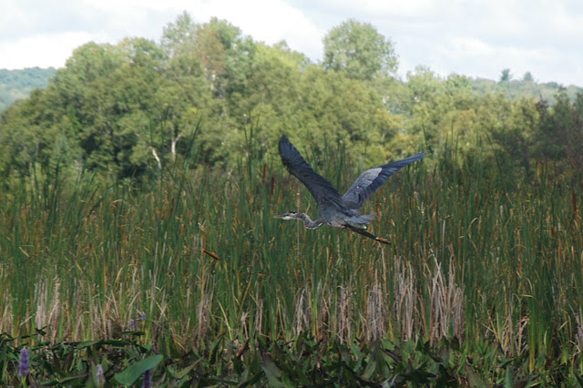
Once again we played leapfrog with a pair of Great Blue Herons, and this time I was able to shoot one... Finally!
Sedge Bending! The term courtesy Richard Powell, author of "100 Lakes On Vancouver Island", click to visit his absolutely stunning blog!
Almost back to the put-in, the Burnt Bridge Road bridge over the river is just visible, as well as the trusty Ford Freestar!
Yes, the little (big) kid does paddle a bit! A well graded boat launch we used for our put-in is directly ahead of the canoe


Thank you for the images of the Little Mississippi entering Conroy Marsh. I will be paddling down that way within the next few days, from Barry’s Bay, through the marsh, to find the entrance to the Little Miss. I’ve that with many channels, that can be a challenge. Your photos might help.
ReplyDelete** I’ve heard that with many channels … **
ReplyDelete