Showing posts with label York River. Show all posts

Thursday, August 4, 2011

CASSON AND THE CONROY MARSH - PART 5

After checking out the duck blind, and about ninety minutes on the water, we turned around and began to head back to our put in at Mayhew Landing. Unfortunately, nothing of the scene depicted in Casson's painting could be identified specifically, however the painting had a number of elements that we did see examples of on our paddle. We covered about one-third of the length of the Marsh, so it is quite possible the scene depicted was at the western end, somewhere near where the York River enters the marsh, as we have entered via the Little Mississippi, and I could not recognice the scene there either.


Noodling through the grasses and lilypads, looking north toward the hill at Craigmont, the location of an old corundum mine.


Very little of the land bordering the marsh is privately owned, virtually all is crown land, except for this obvious location,


A close up view of the blight on the landscape. A more thoughtful owner could have done a better job clearing


Rudi looking back as we head toward Negeek Lake and the take out.

Tuesday, August 2, 2011

CASSON AND THE CONROY MARSH - PART 3

After playing leapfrog with the Beaver for a few more minutes, we continued paddling westward, exploring the marsh areas to the north of the main channel. The water level of the Marsh is controlled by the Palmer Rapids control dam, which is one of a series of several dams on the Madawaska river that are situated and operated to control water levels for the 'large' hydroelectric dam at Arnprior on the Madawaska, near its outlet into the Ottawa River.

The Marsh level, based on some reading, is roughly four feet higher than prior to the installation of the control dam, and must have altered the habitat and ecosystems of the Marsh to a degree. Currently, the marsh has a river channel that varies between 100 and 300 feet wide or more, which is quite deep, upwards of 10 to 20 feet in most places. The rest of the marsh appears to be made up of two different ecosystems: Flooded shallow lake areas, with a water depth between one and four feet deep, thick with water lillies and other fully aquatic plants; and fully saturated areas with ground that rises slightly above the water level, completely covered in wet loving grasses and sedges.


Looking south west into the Conroy Marsh. About two miles ahead, past the near hill on the left, is the entry of the Little Mississippi River. The York River opens into the marsh about five miles directly ahead.


Looking to the west now, and Craigmont Hill. We are paddling in the shallow flooded areas, which are populated with lilies and other aquatic plants. Directly ahead are grasses that stand at water level or therabouts, I imagine it could be possible to walk through them, if you enjoy being knee deep in muck.


Looking west still, and now we are on the extreme south shore of the Marsh, in the main river channel. The small spot on the hill ahead is likely the opening of the shaft of the Craigmont Mine.

Monday, August 30, 2010

THE LITTLE MISSISSIPPI RIVER - Into the Conroy Marsh

Monday following our short trip on the York, Rudi and I abandoned Alexander with mommy and headed out to the Burnt Bridge Road put-in, this time heading north along the Little Mississippi and into the Conroy Marsh. Total trip time was roughly two hours paddling, with a fifteen minute break exploring a point with a couple of rock ringed firepits, Rudi excitedly proclaiming there to be an abundance of minerals, including quartz, mica, and fools gold present in some of the rocks. 


Noodling down the Little Mississippi. The main channel generally is about 75' to 150' wide, in a wider wetland from 300' to 500' or wider here


The channel widens out, and the opening of the Marsh appears. The long line of hills trends to the Northwest, leading the marsh to its outlet in Negeek Lake near Combermere


Another view of the opening into the Conroy Marsh. Around the small headland on the right, the marsh opens up to roughly two or threee kilometres wide


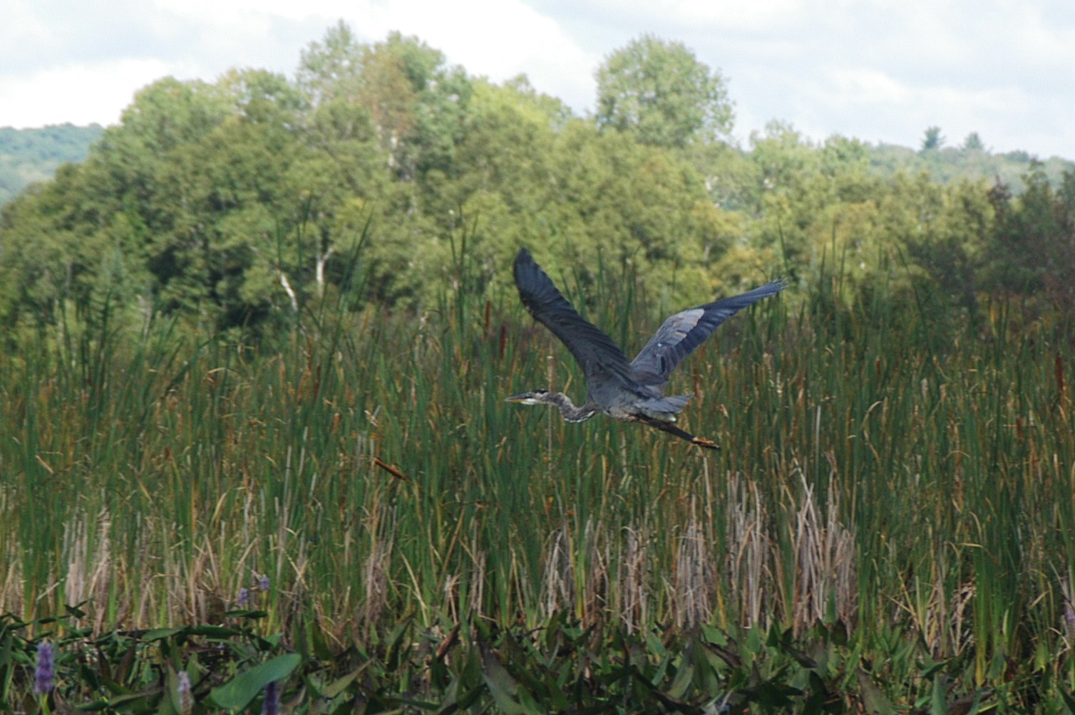
Once again we played leapfrog with a pair of Great Blue Herons, and this time I was able to shoot one... Finally!


Sedge Bending! The term courtesy Richard Powell, author of "100 Lakes On Vancouver Island", click to visit his absolutely stunning blog!


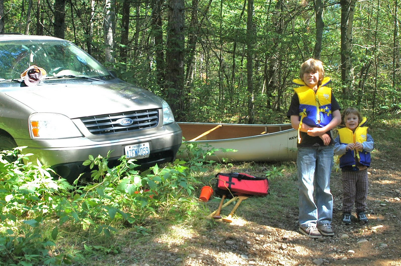
Almost back to the put-in, the Burnt Bridge Road bridge over the river is just visible, as well as the trusty Ford Freestar!


Yes, the little (big) kid does paddle a bit! A well graded boat launch we used for our put-in is directly ahead of the canoe

Saturday, August 28, 2010

THE YORK RIVER - Conroy Rapids

After passing our put-in and continuing downstream, we caught a pair of kaykers exploring the shoreline, and eventually rounded a corner, hearing the unmistakable roar of rushing water. Not a really load roar, but these rapids only drop the river about five or six feet vertically over a hundred yards or so. We noodled about above the rapids for a few minutes, testing the flow, and getting a few photographs, then headed back upstream toward the put-in.


Approaching the Conroy Rapids


These two look rather bored, as opposed to absolutely terrified of their impending doom~!


Another view of the raging torrent!

Friday, August 27, 2010

THE YORK RIVER - 'Hunt Camp on York' to Slabtown

Slabtown Ontario is home to approximately three-fifths of one one-millionth of the population of Canada, so it is unmarked on any maps, and the average person has a better chance of winning the Lotto Max Jackpot than of ever accidentally wandering into this little town.

Rudi, Alexander, and I found it by following the old 517 from Combermere, the Boulter Road, Rivercrest Drive, and finally an old MNR track barely suitable for passage by the van. A few hundred metres from where we parked, we found a suitable put-in at a clearing with a small hunt cabin, and then headed east along the York to the Boulter Road Bridge in Slabtown.


Gearing up after parking on the old MNR forest track.


Passing a cottage located in Slabtown, on the south side of the York


The Boulter Road bridge at Slabtown


Returning past our put-in at the hunt camp on the York River

Saturday, July 11, 2009

RESEARCH, AND THE DRIVE HOME


I left the cottage today for home, driving a route I had never taken before. Down the 517 out of Combermere, then South at the end headed for Boulter. About two kilometres south of the intersection, the road passed through a little hamlet, and crossed a bridge over the York River. Here I slowed down, and checked the river... Deep, slow, and wide, absolutely perfect!

So that is the second part of the research done for our next big adventure, which will be to put in the York off the Boulter road bridge, paddle the York down about 3 kilometres into the Conroy Marsh, and then the 8 kilometer length of the Marsh. I had earlier called a gentleman in the area who gave me a good idea what to expect on the York River between the put-in and the Marsh, being two sets of small rapids, and how best to negotiate them. Stay tuned for an even bigger adventure with my favorite bowman Rudi sometime in August!

Thursday, July 9, 2009

PADDLING THE CONROY MARSH


I got away with my little bowman Rudi on a big canoe adventure today, a three hour trip across Negeek Lake and into the Conroy Marsh and back. We drove down the Palmer Rapids Road South of Combermere (Highway 515), and found a cottage access road north of Jewelville that ended near the Southern end of Negeek Lake (Negeek is tha large body of water on the Google Earth map, top left), with a little track maintained by the MNR that led further to a grassy turnaround, and an old boat launch with a short log crib pier (Top photo). Ten minutes later the canoe was in the water and we were paddling across the shallow lake. I had to overcome my ridiculous fear of shallow water - for some reason I get really nervous about what is coming up underneath the boat, and I get the willies when I can see the bottom vegetation and muck. I think it has to do with the fact I would probably freak out if the boat got upset, and I had to swim in all that crap, so I reassured myself that there was no way in hell the Canadian was going to tip over on flat water on a warm, calm summer day!

It was fairly easy to find the entrance to the York River across the lake, up which the Conroy Marsh wandered, and we paddled through the wide river mouth, with a line of steep hills to our right, and most of the marsh and further hills off to the left. By this time I'd overcome my fear of the shallows, and was paddling close to reeds and lilies, not worried about the murky bottom (Middle photo). For about half an hour we paddled Southwest, mostly along the main channel, and then exploring some side channels on the South side of the main.

The side channels were of a consistant width, about thirty feet or so, and were divided by hillocks of probably spongy waterlogged ground, supporting in some cases small stands of trees (Bottom photo). In other areas, some mammoth rock outcroppings rose above the surface, around which these channels formed. Paddling quietly down one, we surprised a Buck, who looked up, decided we were a bit of trouble, and bounced away to the South. Rudi was very excited, as we had just rounded a corner, and the Deer was less than 80 feet away. We also saw a number of geese, a variety of ducks, and a pair of Great Blue Heron. After spending another half hour or so checking out various little channels, we found the main course again, and headed back down river to Negeek Lake, then across and back to the put-in. The canoe handled nicely, stable and predictable, and was quite easy to paddle, even for a relative novice like me. Rudi does have a bit of improving to do, as more often than not his paddle is in the boat, not the water!

LinkWithin

Related Posts with Thumbnails